Storms and other extreme weather events result in expensive repairs for property and infrastructure, emphasizing the importance of real-time ocean data collection to improve planning and preparedness ahead of future extreme weather events.
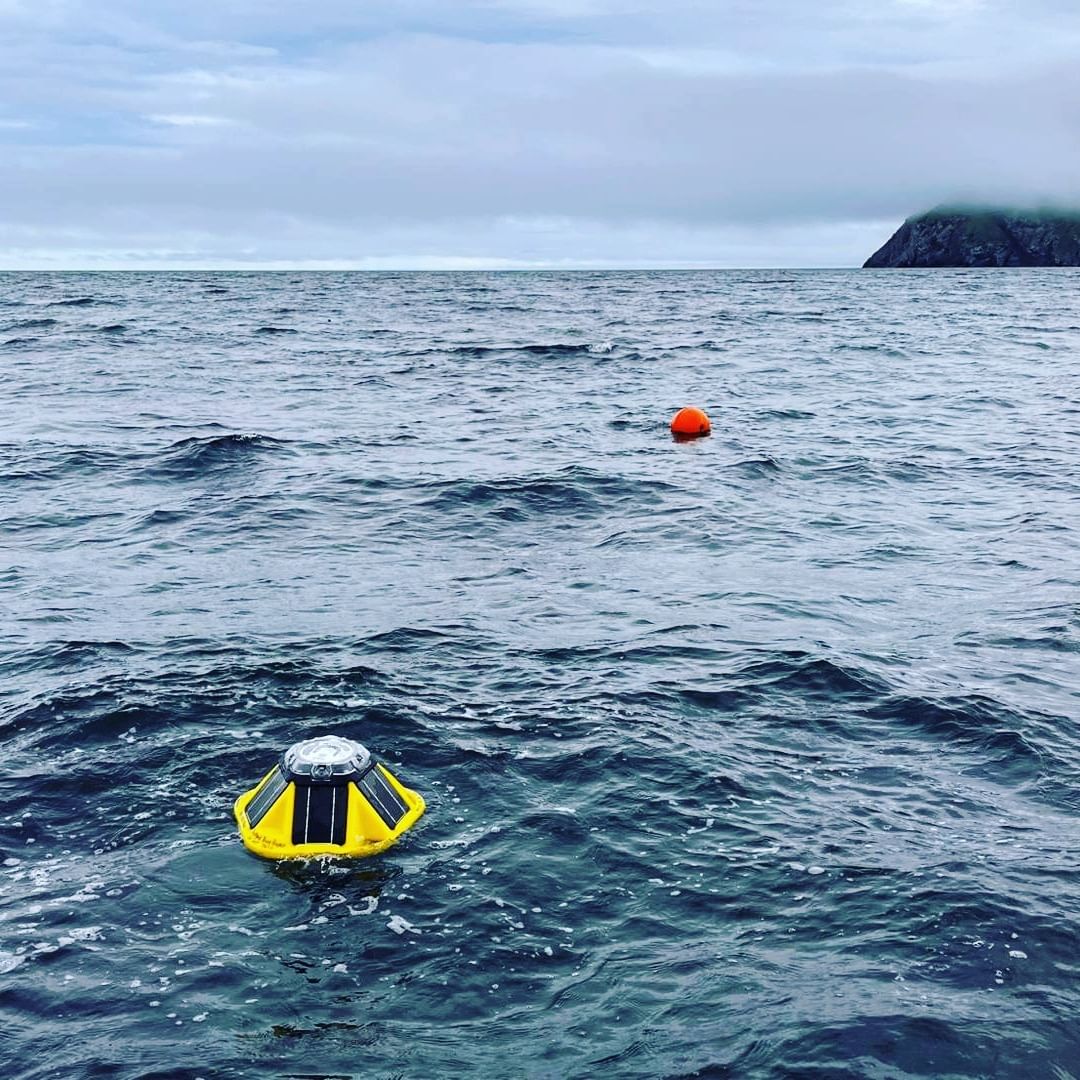
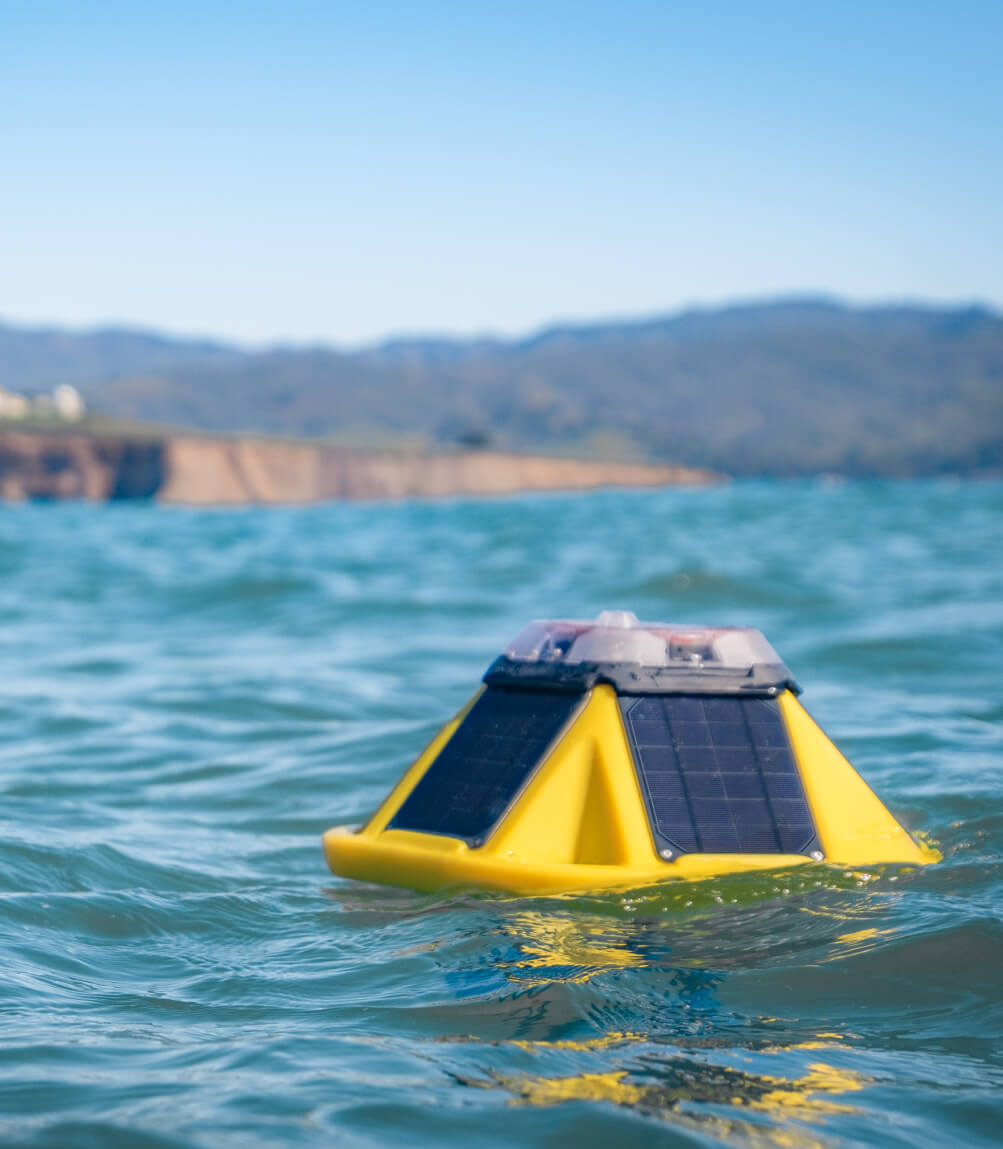
A series of storms on the Pacific Coast in early January of 2023 caused over $15 billion in property and infrastructure damage, largely due to coastal erosion, mudslides, and compound flooding. Sofar Ocean's real-time ocean sensor network, featuring the Spotter Platform, has been a successful tool for measuring wave heights and collecting critical ocean data, assisting environmental scientists in assessing coastal resiliency and supporting community leaders and facilities managers in preparing for climate change and sea-level rise.